Large wildfires have spread throughout the world in mid-2021, in part attributed to climate change and the direct and long-term risk that it poses to lives, livelihoods, and ecosystems. Tens of thousands of people have had to flee their homes and firefighters have struggled to contain outbreaks in Algeria, Canada, France, Greece, Israel, Italy, Lebanon, Mozambique, Russia (Siberia), Turkey, and the United States.
Early warning and monitoring systems are crucial for local authorities, citizens, researchers, and media outlets to rapidly identify and track these wildfires. With the growing availability of open-data remote-sensing platforms, there is a wealth of information available that can be used by interested parties to support their efforts. For open-source intelligence (OSINT) analysts seeking to qualify or quantify both wildfires and burned areas, a knowledge of the most important open-source platforms and datasets – and how to use the data – is therefore crucial.

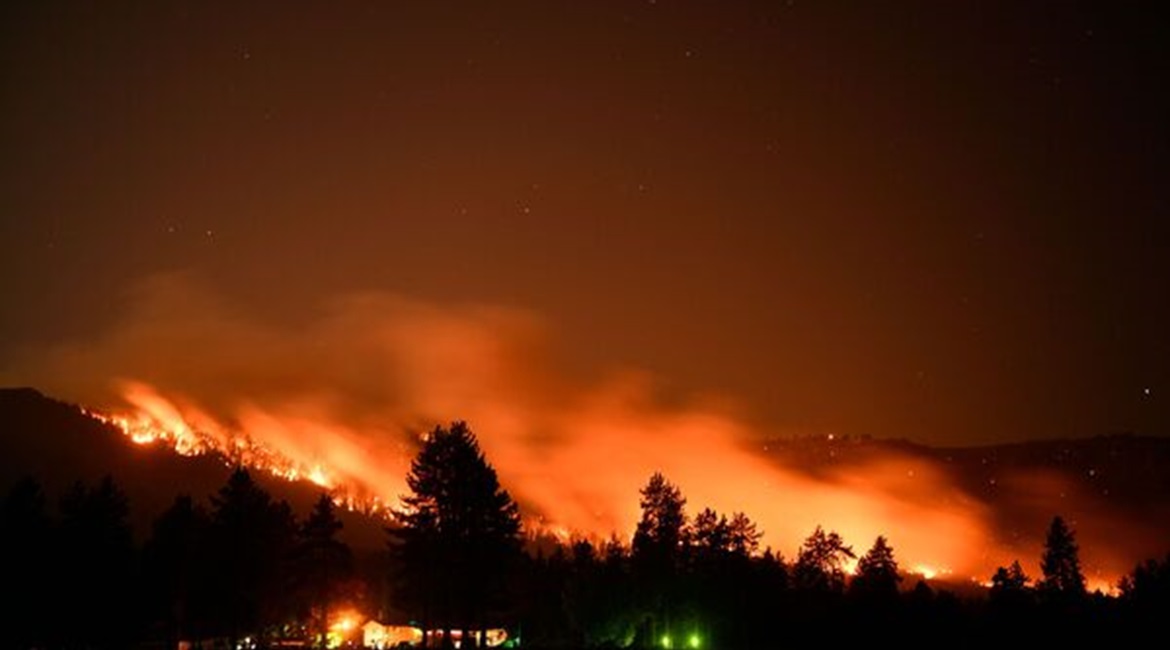
Trees burn on a hillside behind Honey Lake campground during the Dixie wildfire on 18 August 2021 in Milford, California. The wildfire had burnt more than 626,000 acres of land. (Patrick T Fallon/AFP via Getty Images)
Creating the perfect firestorm
Specific environmental and atmospheric conditions can be conducive for wildfires to spread rapidly, including droughts, strong winds, and heatwaves. Even rainfall can lead to higher risks, as greater precipitation can cause more vegetation growth. Subsequent heat can then dry out low-growing vegetation that, if sparked, can cause rapidly spreading fires. This was a major contributor to the 2019 increase in wildfires in northern Syria, according to the Food and Agriculture Organization (FAO).
Looking to read the full article?
Gain unlimited access to Janes news and more...


