The Indian Space Research Organisation (ISRO) has launched a radar-imaging Earth-observation satellite capable of capturing and relaying high-resolution images to enhance the Indian military’s surveillance capabilities.

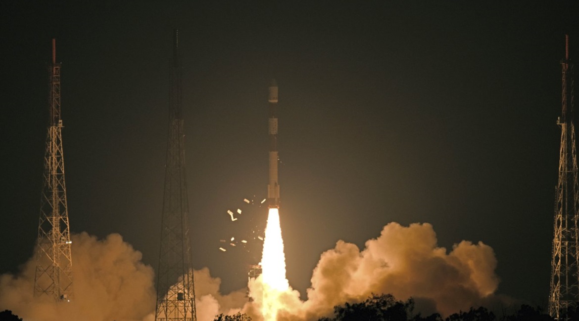
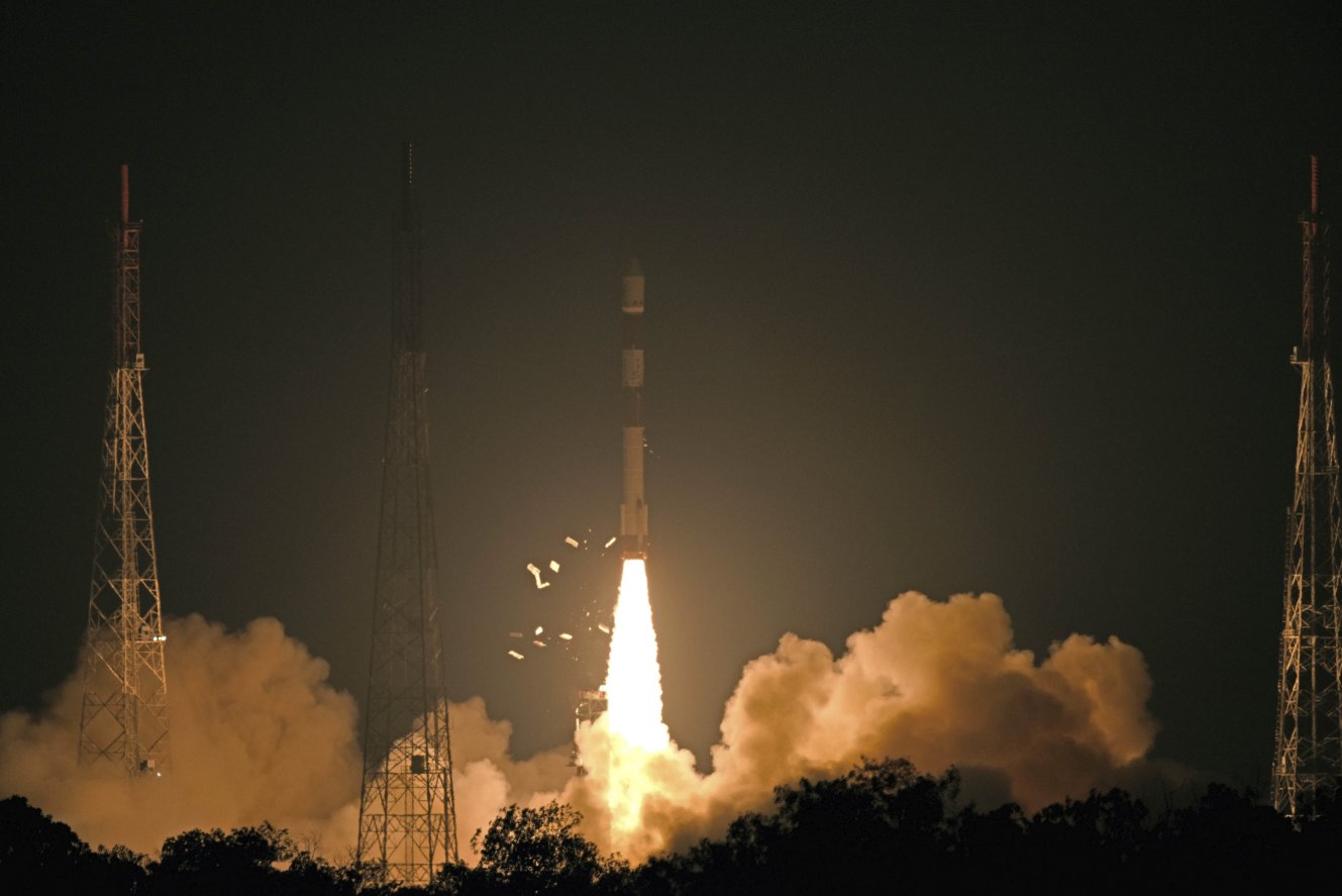
India’s PSLV-C46 launch vehicle put RISAT-2B, a radar-imaging Earth-observation satellite, into orbit on 22 May. (Via PIB)
Officials said the locally developed and built, day-and-night, all-weather 615-kg Radar Imaging Satellite-2B (RISAT-2B) was launched on 22 May at 0530 h local time from the ISRO’s Satish Dhawan Space Centre in Sriharikota, southern India, aboard the indigenously designed Polar Satellite Launch Vehicle-C46 (PSLV-C46).
According to the Indian government’s Press Information Bureau (PIB), the satellite was placed in a 556-km Sun-synchronous polar orbit about 15 minutes after PSLV-C46 was launched.
“After separation, solar arrays of RISAT-2B were deployed automatically and [the] ISRO Telemetry, Tracking and Command Network at Bangalore assumed control of the satellite,” the PIB stated, adding that RISAT-2B is expected to become fully operational in the “coming days”.
Fitted with an IEEE X-band (NATO I/J-band) synthetic aperture radar (SAR), RISAT-2B is stated to have a life span of five years and is capable of capturing high-resolution images despite dense cloud cover. It can also provide “detailed images of the size of objects on Earth, structures, movement, and any situational change on the ground”, military officials told Jane’s .
RISAT-2B is the third such satellite launched by the ISRO over the past decade, and will replace the Israeli-built X-band, SAR-equipped RISAT-2, and the locally designed RISAT-1 with its IEEE C-band (NATO G/H-band)-based SAR. These satellites were launched in 2009 and 2012, but have reached the end of their operational lives.
Looking to read the full article?
Gain unlimited access to Janes news and more...


