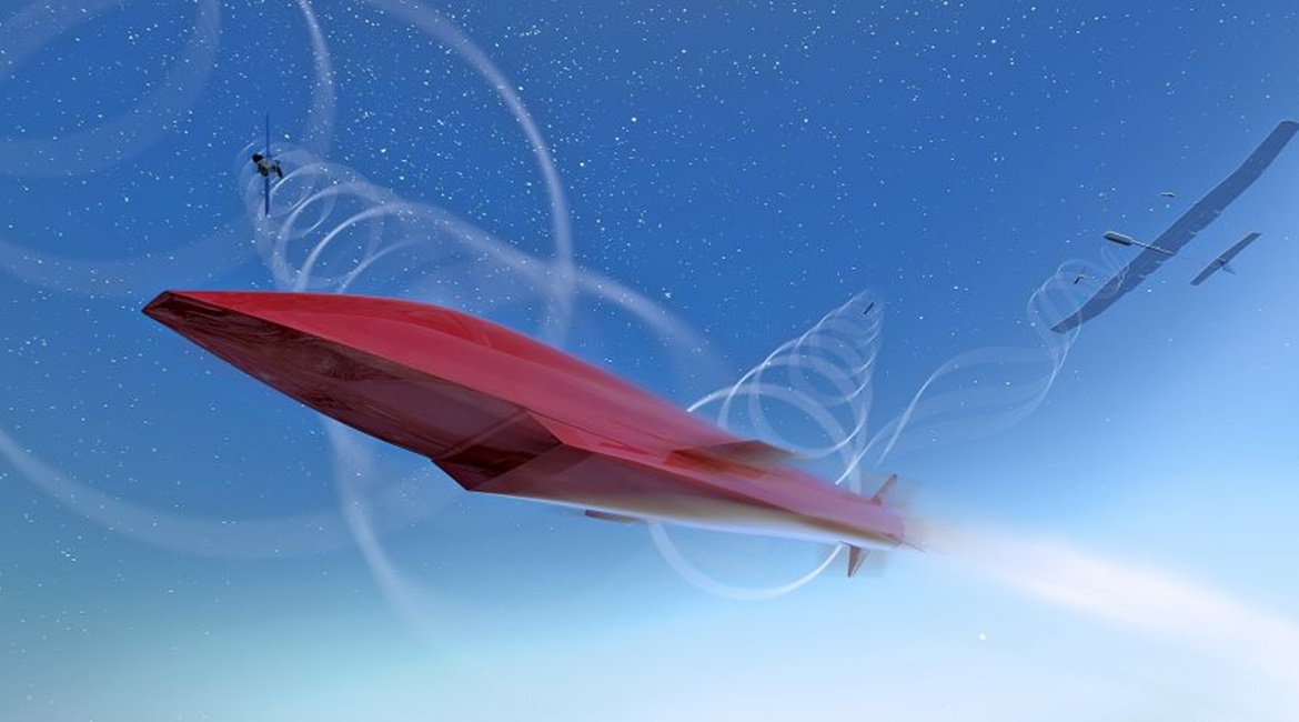
MBDA Missile Systems, working in conjunction with Airbus Defence and Space and ONERA, is exploring a novel navigation solution for future long-range cruise missile systems that would use satellite communications (satcom) signals as a means to maintain precision navigation accuracies at range.
The company is claiming a first demonstration of satcom-aided navigation in the field as part of the Resilient and Autonomous Satcom Navigation (REASON) project, part of the UK/French Materials and Components for Missiles Innovation and Technology Partnership (MCM IPT) programme. REASON has set out to evaluate the technical and system-level feasibility and benefits of using specialist satellite signals as an aid to navigation.
MBDA has led the year-long REASON study and provided performance metrics for the assessment. Airbus has taken responsibility for the concept system and demonstration, with ONERA providing the simulation environment.
For a medium-to-long duration flight, cruise missile systems require additional information to support inertial measurement unit (IMU) sensors to achieve the required level of guidance accuracy. Recent years have seen greater reliance on Global Positioning System (GPS)/Global Navigation Satellite System (GNSS) signals to provide navigation updates to correct IMU drift.
However, access to GPS/GNSS is likely to be denied in future contested environments. REASON has set out to explore an alternative solution by using ranging measurements from satcom networks. Being satcom-enabled, such a technique is not altitude or terrain-dependent.
“REASON is aimed at deriving a robust navigation employing beyond line-of-sight transceivers to elaborate ranging signals,” Damien Kubrak, project lead for Airbus, told the MCM ITP conference in Birmingham on 15 October. “Those ranging signals are then fused with an inertial sensor, and additional sensors such as an altimeter, to deliver the navigation system.”

Looking to read the full article?
Gain unlimited access to Janes news and more...


