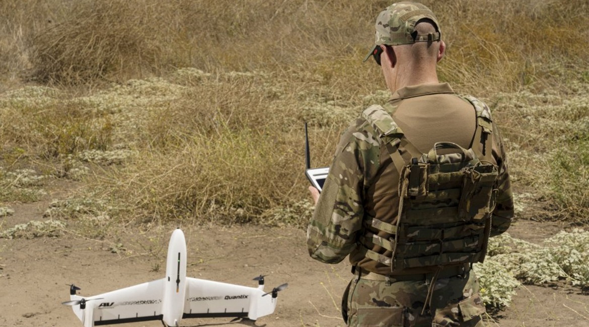
AeroVironment has launched a military version of its Quantix hybrid vertical take-off and landing (VTOL) fixed wing unmanned aerial vehicle (UAV) called the Quantix Recon, the company announced on 23 April.
Unlike its predecessor that was introduced in March 2018, and primarily designed for agricultural survey using a multispectral or near infrared (IR) camera to evaluate crop health and helping farmers to optimise the use of pesticides or plant nutrition, the new Quantix Recon has been specifically designed to deliver on-demand high-resolution georeferenced aerial imagery.

The new Quantix Recon VTOL UAV is being offered for military applications. (AeroVironment)
According to company specifications, the Quantix Recon has a maximum take-off weight (MTOW) of 2.27 kg and a wingspan of 97.5 cm. The UAV is powered by four electric motors driving twin-bladed propellers, enabling it to achieve a maximum altitude of 7,500 ft (2,286 m), although it typically performs imaging operations at five user-selectable altitudes between 150 and 800 ft.
Communication is supported via a 900 MHz encrypted radio frequency (RF) channel with a range of 2 km and Wi-Fi, with several automated reconnaissance mode options that enable operators to select area, linear, or waypoint-targeted data capture.
The tailsitter Quantix Recon automatically launches itself vertically to an altitude of approximately 150 ft before transitioning to conventional forward flight, and lands vertically once it completes a mission. This eliminates the need for a launcher or runway and enables an operator to launch and recover the UAV with minimal preparation.
AeroVironment claims that the Quantix Recon offers a maximum flight time of 45 minutes per battery charge, which enables it to survey a 1.6 km2 area or a return flight out to 20 km. It can also operate in wind conditions of up to 9 m/s.
Looking to read the full article?
Gain unlimited access to Janes news and more...


