The Israel Defense Force’s (IDF’s) Home Front Command (HFC) has begun using a new command-and-control (C2) system designed to create a nationwide geographic real-time database of emergency incidents, first responder locations, status of local authorities, and other critical updates.
The system is dubbed Shual, the Hebrew acronym for National Home Front Command and Control, and uses Esri geographic information system (GIS) software. The HFC is responsible for preparing for and assisting during national emergencies.
Captain Nir Eldan, head of the HFC’s Shual Program Branch, said the programme began in 2017 and evolved into a modernised national C2 system. “Two years ago, we understood we needed to create a national solution and develop the technological operational capabilities. We saw [first response] organisations working without these technological systems,” Capt Eldan said.
While Israel’s air, ground, and naval forces can speak with each other and interface C2 systems, the HFC lacked this ability for dealing with local authorities such as police, firefighters, and paramedics, he said. “The local authority is the most important response bloc – it is where the incident is happening,” said Capt Eldan.
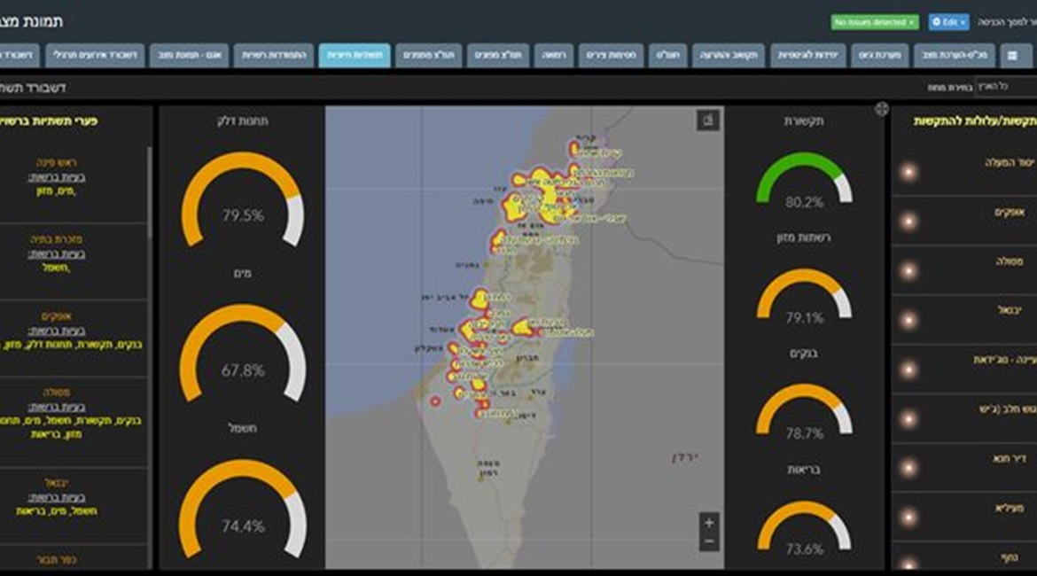
Shual creates a visual picture that updates automatically in real time, linking local authorities and other agencies via a national HFC C2 system.

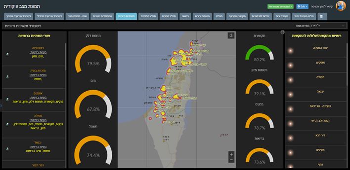
A screenshot of the Shual heatmap. Dashboards on the right include communications, food distribution networks, banks, and healthcare. On the left are gas stations, water, and electricity. (IDF Spokesperson Unit)
Looking to read the full article?
Gain unlimited access to Janes news and more...


